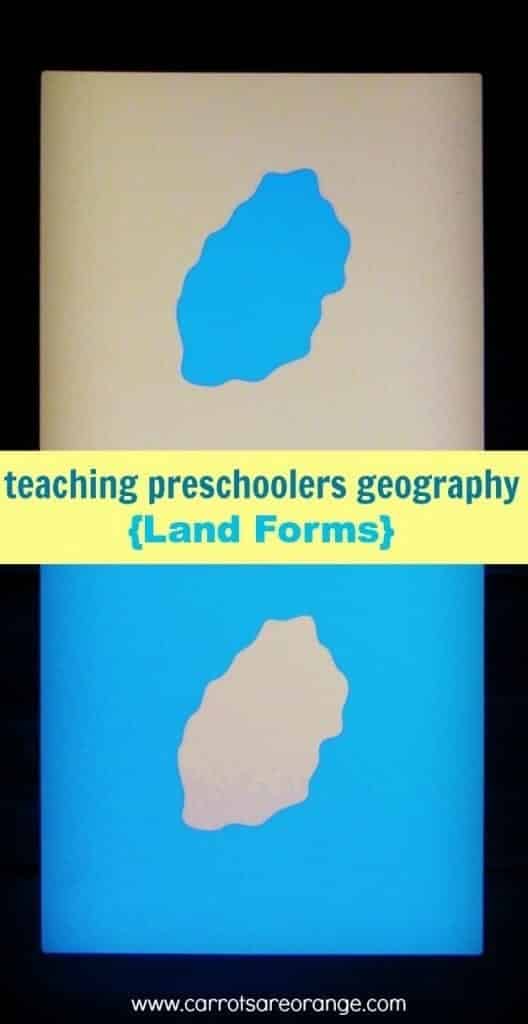
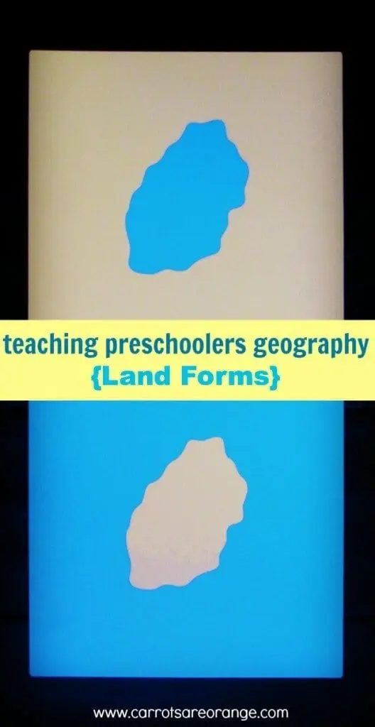
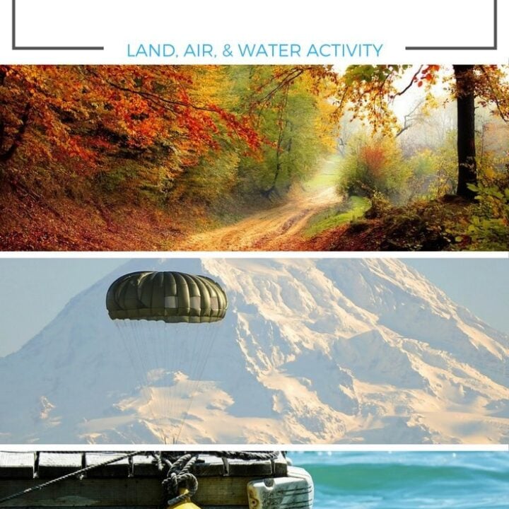
You might remember a post I wrote a while back on Introducing Land Forms to Preschoolers with an easy & inexpensive activity. The other day I went further to explain Geography within Montessori and how to introduce this big topic to your children. When you are ready to move on to the next lesson, I highly recommend what we did today using landform cards.
What are Land and Water Forms in Montessori?
In Montessori education, the study of land and water forms is an important part of the geography curriculum. The goal is to help children develop an understanding of the physical features of the Earth's surface and the natural elements that shape it.
This knowledge lays the foundation for further exploration of the world's geography and how humans interact with their environment. Here are some key aspects of the Montessori approach to teaching land and water forms:
- Concrete Learning Materials: Montessori education emphasizes the use of hands-on, concrete learning materials. For land and water forms, this typically includes a set of model forms that children can touch and explore. These models might be made of wood or other materials and are designed to represent various geographical features like mountains, valleys, lakes, and islands.
- Naming and Recognition: Children are introduced to the names and characteristics of different land and water forms. They learn to recognize them both in the model representations and in real-life settings. The teacher provides lessons and activities to help the child identify and differentiate between these features.
- Language Development: Learning land and water forms enhances the child's language development. They acquire new vocabulary related to geography, such as peninsula, isthmus, bay, etc. The teacher encourages discussions, storytelling, and labeling exercises to strengthen language skills.
- Sensorial Exploration: Montessori education places a strong emphasis on the development of the senses. Exploring land and water forms through touch and visual observation helps children internalize their characteristics and differences, promoting sensorial development.
- Map Work: As children become more familiar with land and water forms, they begin to create maps using various materials like paper, colored pencils, and modeling clay. These map-making activities help them integrate their knowledge and develop spatial awareness.
- Geographical Concepts: The study of land and water forms also introduces children to fundamental geographical concepts such as erosion, weathering, and the water cycle. These concepts are presented in a simplified manner suitable for young learners.
- Cultural Connections: Montessori geography aims to create a connection between the child and their environment. Teachers often include cultural elements in their lessons, sharing stories and information about the land and water forms of different regions around the world.
- Outdoor Exploration: Whenever possible, Montessori educators encourage outdoor exploration to observe real land and water forms in nature. Field trips, nature walks, and visits to nearby geographical landmarks provide valuable learning experiences.
Overall, the Montessori approach to teaching land and water forms fosters curiosity, observation skills, and an appreciation for the natural world. It provides a solid foundation for future geographical studies and a broader understanding of the Earth's diverse landscapes.

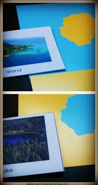
Teach Geography with Land Form Cards
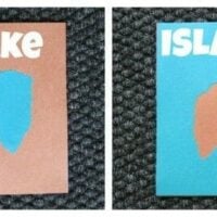
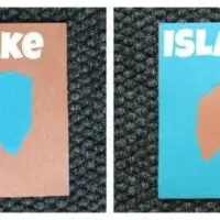
First, go to Montessori Outlet and purchase these Montessori Land Form cards. We started working with them a few weeks ago and I am really happy with them.
Not only are the cards offered at a lower price, but they are also well made. I also love the large size of them. We also have the Land Form box for them. I highly recommend the box.
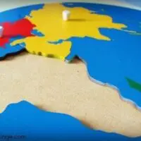
I introduced the Land Form cards to my sons at a “Circle Time”. I laid them out onto the rug, placing the opposites near one another to give my sons the visual experience. I simply named each landform: “Island. Lake. Cape. Bay…” Then I pointed out: “Water. Land.” on each card.
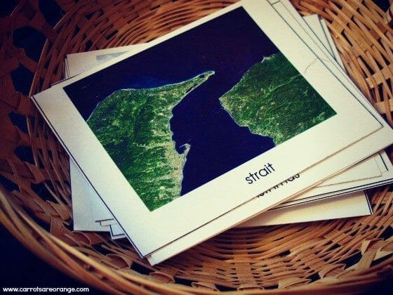

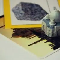
Finally, I prepared real images of landforms and matched them to the appropriate landform card. We talked briefly about each landform Then I gave my son a turn with the material.

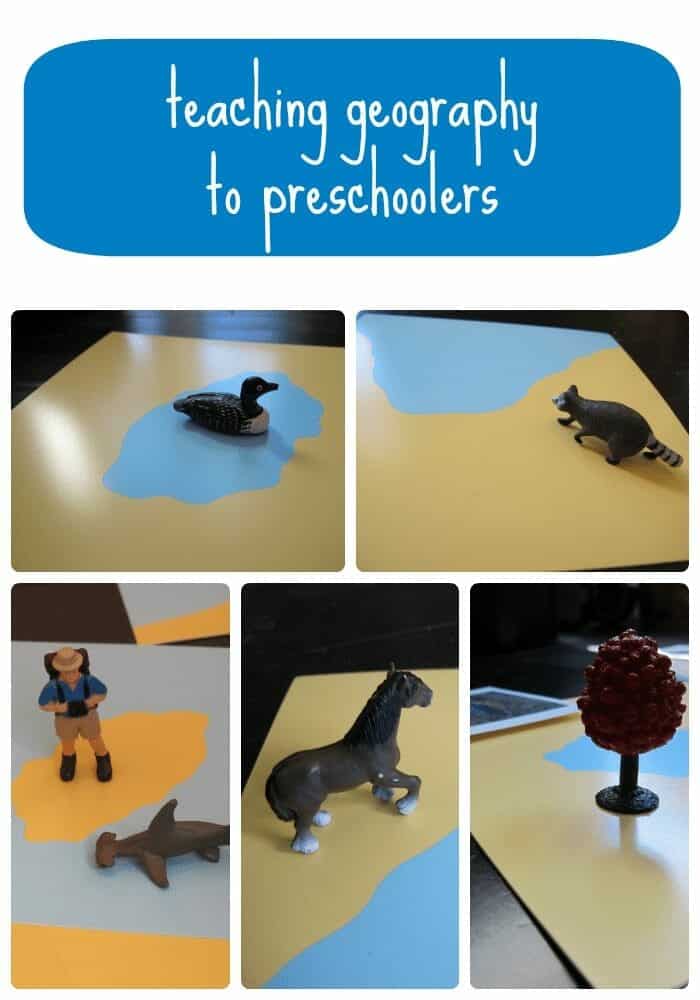
Later in the day, as an extension, I carried out a small box of Safari Toob mini replicas with animals that live in either the land or the water. My son had a good time matching the animals and explaining why each animal belonged to which landform or body of water.
He wasn't always “correct” so that gave us a great opportunity for discussion. This part made the learning more hands-on, visual, and interactive. Plus it got their bodies moving.
We're really enjoying our exploration of Geography. I'm excited to share more activities and lessons with you. If you want more geography, click through to these Montessori Geography posts. These two are my favorite preschool geography activities!
Resources to Help You With Montessori Geography
- Montessori Map Work by Bobby George
- My First Montessori Book of Land and Water Forms
- Basic Land & Water Forms 3 Part Cards
- 10 Advanced Water and Land Forms
- Land & Water Form Cards
- Montessori Sandpaper Globe
- Animals of the World
More Geography Activities


Thanks for visiting and please leave a comment! I love hearing from you.
Warmly,
Marnie