I've written about working with and introducing a Montessori World Map recently. This post introduces two extensions to preschool geography activities to learn about the continents.
We use the Montessori World Map to 1) Create our Own Map by Tracing & 2) Create our Own Map by Pin Poking.

Preschool Geography Activities to Learn the Continents
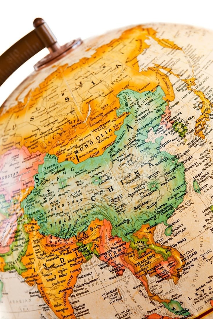
What are the Montessori Continent Colors?
One of the foundational aspects of Montessori geography is that Montessori materials have specific colors designated for each continent: Africa is green, Asia is yellow, Australia is brown, Antarctica is white, South America is pink, North America is orange, and Europe is red.
Materials Needed for the Preschool Geography Activity:
- Control World Map
- Circle for World Map
- Large Tracing Pad
- Colored Pencils
- Push pins (Optional)

Approach to the Geography Extension:
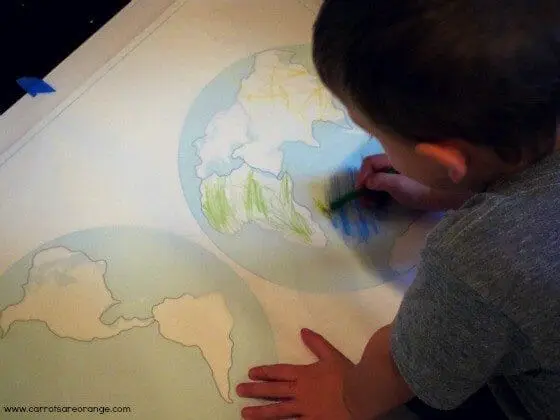
- My 3.5-year-old selected the colored pencils to match the continent colors (reminder – orange=North America, pink=South America, brown=Australia, red=Europe, yellow=Asia, green=Africa, white=Antarctica).
- We placed the tracing paper over Montessori Outlet’s World Control Map
- Then we colored in the outlines of the continents.
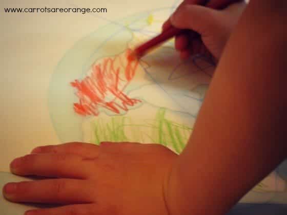

The result was beautiful.
Continent Map Variations:
- Use Montessori Outlet’s large plastic circle that matches the hemispheres on the World Map. Have your child trace both sides of the hemisphere, then use the inserts to trace around each continent.
- Do the same as the above variation but don’t use colored pencils to trace the continents. Instead, use pushpins to trace around each continent using the appropriate matching continent color construction paper. The child pin pokes to trace around the continents. Then the child can place each continent he has created with his pushpins and construction paper onto the World Map he traced in the first step. Use glue to place the continents.
For more, click through to these Montessori Geography posts.
- Teaching Geography to Preschoolers {Land Forms}
- Teaching Geography to Preschoolers {An Introduction}
- Preschool Geography {Clouds}
- Preschool Geography {Air}
- Preschool Geography {Land, Air, Water}
Thank you for choosing to read today. Please leave a comment, I love hearing from you!
Marnie